Automotive
Autoregisteret
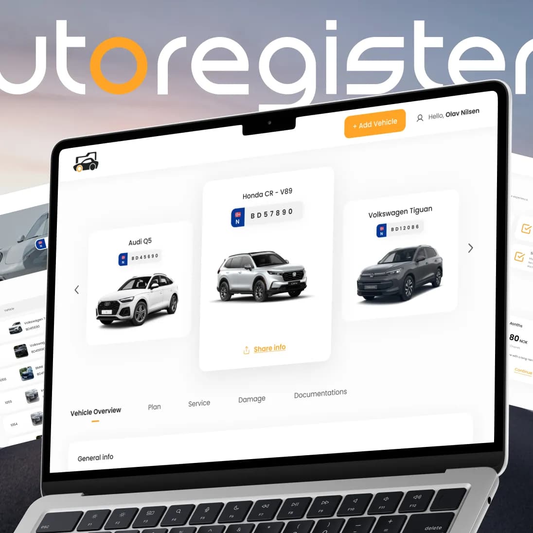
A Norwegian platform that brings a car’s full history, service records and documents into one secure place — designed and built end-to-end by PettersonApps, with trusted integrations for identity and payments.
Smarter
fieldwork.
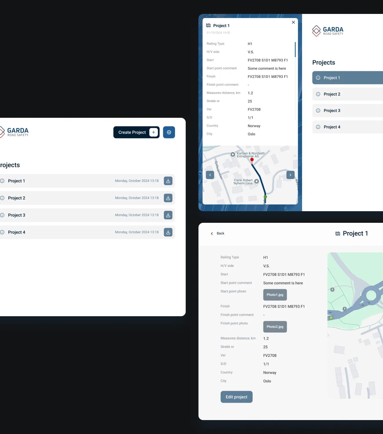
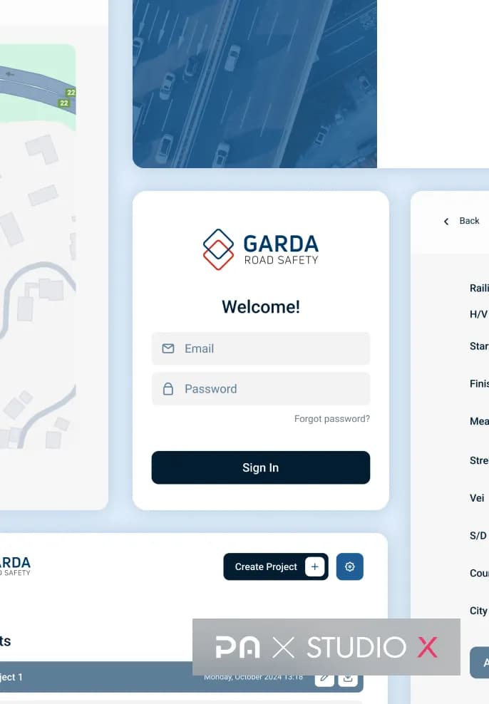
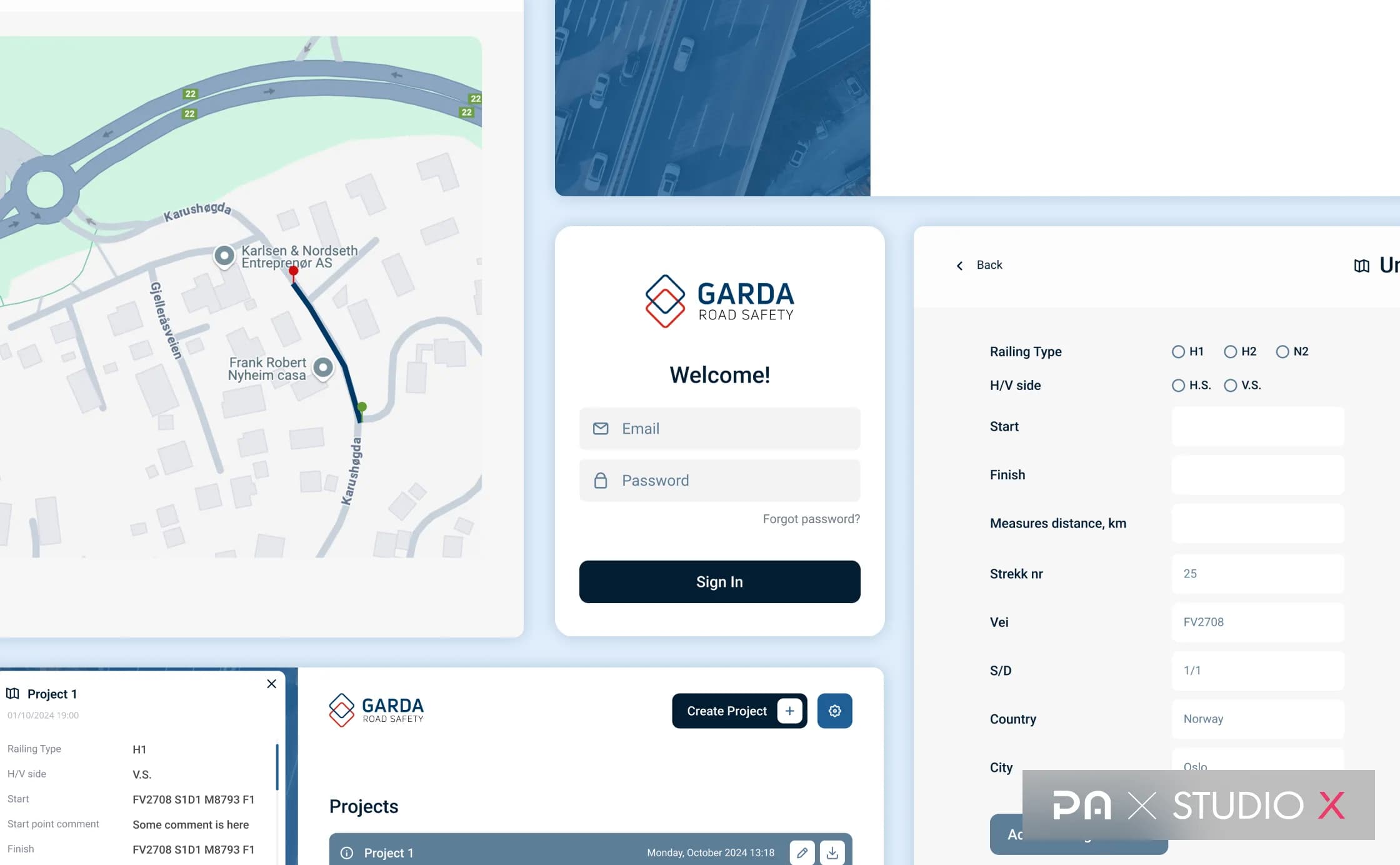
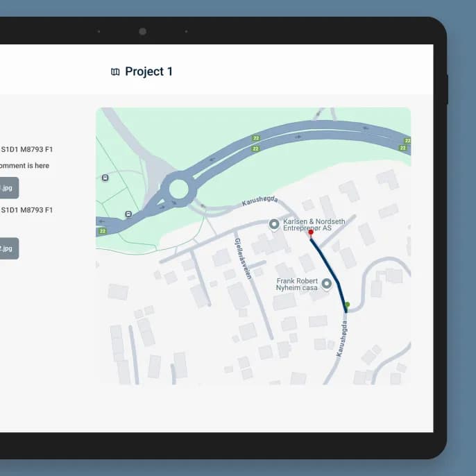
Garda Road Safety is a tablet-first Android application designed to streamline road inspections and field operations. It combines GPS-based measurements, integrated photo capture, and structured data collection, enabling field crews to manage multiple road segments and automatically generate reports within a single digital workflow.
More than just a measurement tool.
A connected digital solution that brings road measurements, field documentation, and automated reporting into one streamlined workflow.
| Feature | Implementation | User value |
|---|---|---|
| 01GPS measurement | GPS tracking, start/stop controls, and automatic distance calculation | Measure road segments without manual calculations |
| 02Field documentation | Structured data, road IDs, and photo capture | Collect all inspection data in one place |
| 03Project management | Multiple road segments within a single project | Manage complex inspections without restarting the workflow |
| 04Automated reporting | Database storage, CSV export, and email delivery | Simplify reporting and reduce manual work |
01
GPS measurement
02
Field documentation
03
Project management
04
Automated reporting
Who we built it for.
Garda Road Safety specializes in maintaining guardrails, bridges, road surfaces, and related infrastructure. Its field teams relied on manual measurements, Excel spreadsheets, and separate photo documentation. The client’s goal was to digitize these processes through a reliable, tablet-first application that would simplify data collection, automate road measurements, and streamline reporting directly from the field.
Time for change.
Traditional road inspections relied on manual measurements, fragmented data collection, and time-consuming reporting. Four key challenges
shaped the project:
01.Manual road measurements
02.Fragmented data and photo documentation
03.Complex multi-segment management
04.Time-consuming reporting and data entry
How we approached it.
01.Automated road measurements
Implemented GPS-based distance tracking with simple start and stop controls, eliminating the need for manual calculations.
02.Integrated field documentation
Combined structured data entry and external camera integration, automatically attaching photos to corresponding road segments.
03.Unified project management
Enabled field crews to measure, document, and manage multiple road segments within a single project without restarting the workflow.
04.Automated data reporting
Implemented centralized data storage, automatic CSV export, and email delivery to simplify the reporting process.
| Area | Choice | Why |
|---|---|---|
| 01Platform & interface | Tablet-first Android app | Convenient use in field conditions |
| 02Road measurement | GPS-based distance tracking | Accurate, automated measurements |
| 03Photo documentation | External USB camera integration | Direct photo capture and attachment |
| 04Data & reporting | API integration & CSV export | Compatibility with existing workflows |
01
Platform & interface
02
Road measurement
03
Photo documentation
04
Data & reporting
Fieldwork made smarter.
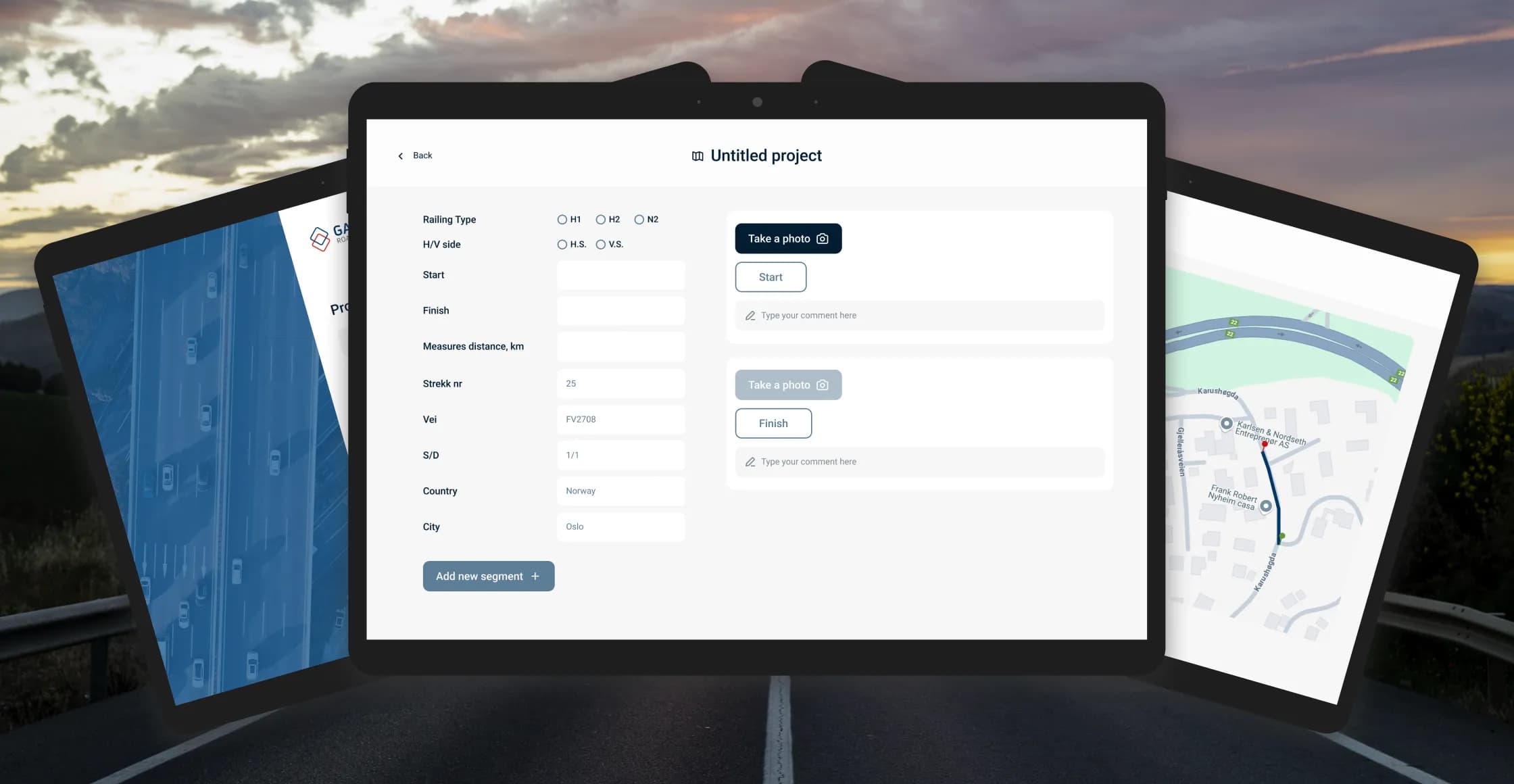
A tablet-first application that simplifies road measurements, field documentation, and project reporting through a unified digital workflow.
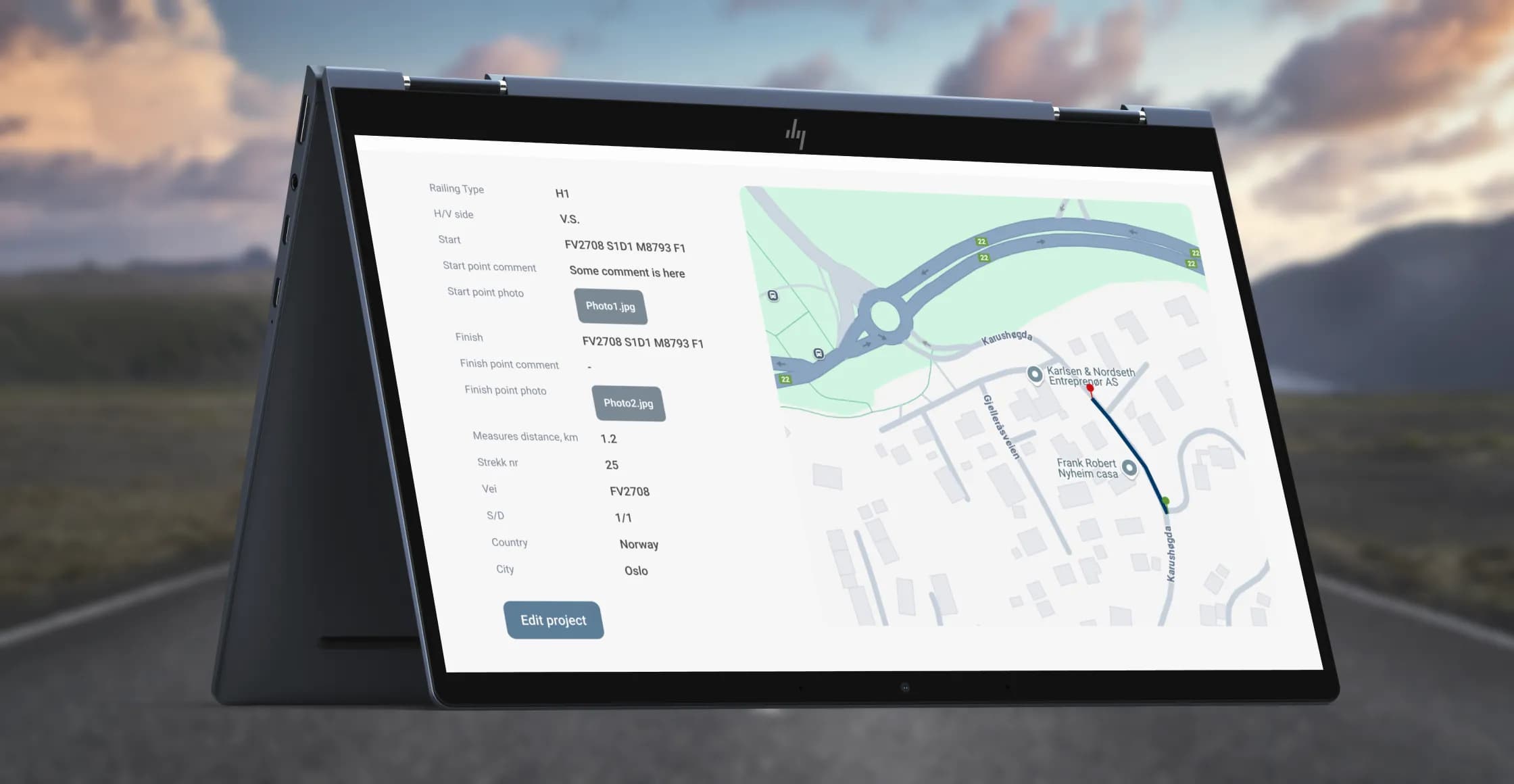
Field crews can accurately measure road sections using GPS. With a single tap, workers can start or stop measurements, while the system calculates the travelled distance.
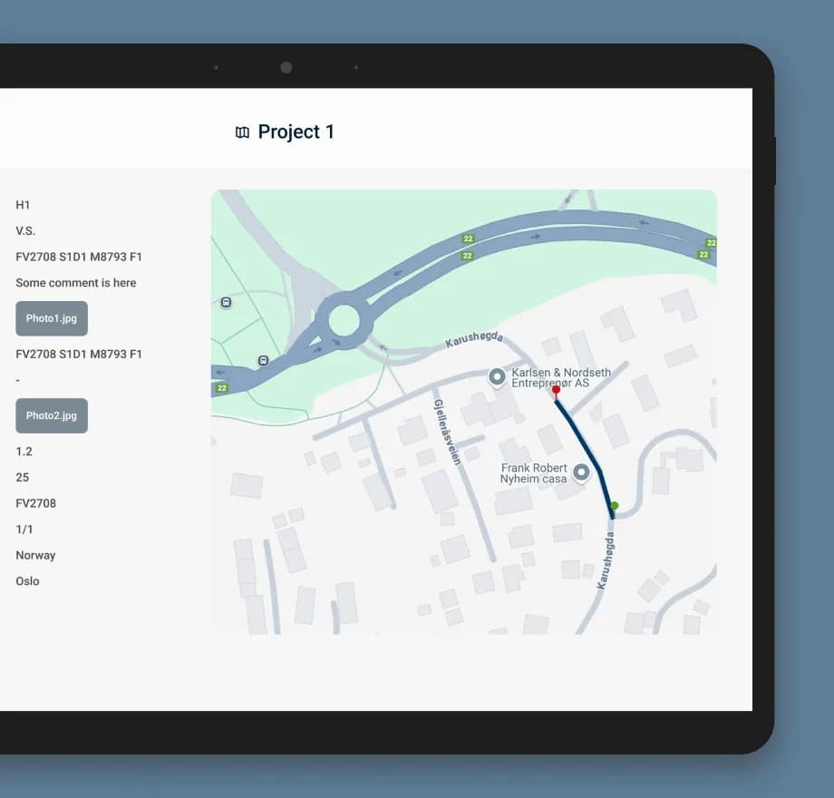
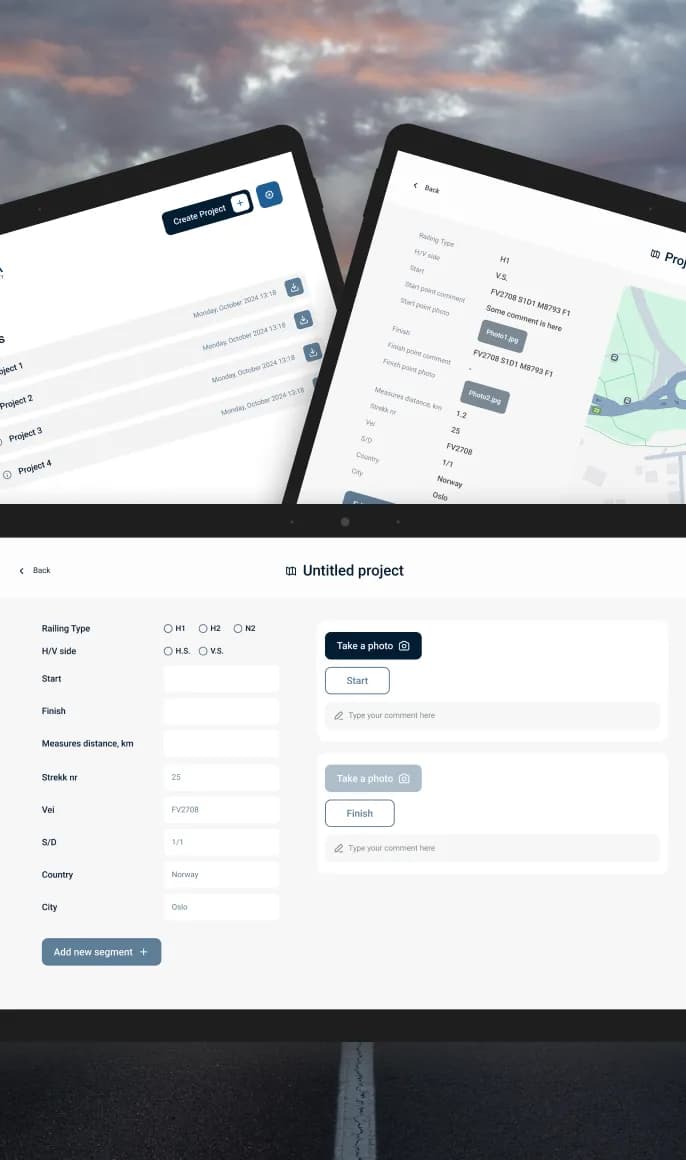
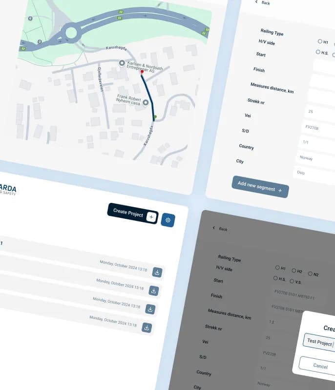
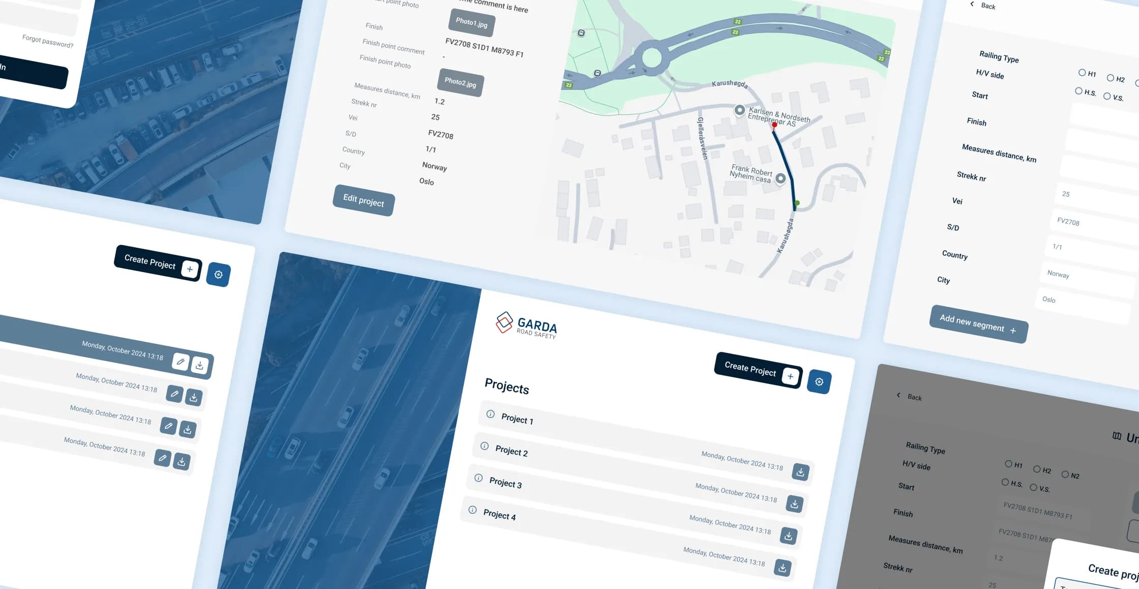
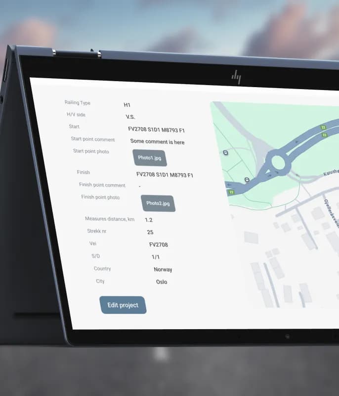
During each measurement, the app collects information for accurate inspection and reporting, including: start/finish points, county, road identifier, comments from the driver.
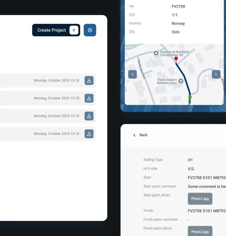
Once a project is completed, the app automatically exports the full dataset into CSV format and sends it to a specified email address.
The app allows users to register multiple sub-segments within a project without restarting the workflow. Each segment is measured, documented, and stored as part of the project.
Users can capture photos at start and stop points, and these images are automatically attached to the corresponding measurement.
Digital efficiency.
The application brings GPS-based measurements, field data collection, and photo documentation into a single digital workflow. Field crews can manage multiple road segments, store project data, and automatically export reports without relying on manual Excel documentation.
GPS-based distance calculation with simple start and stop controls.
Multiple road segments managed within a single project.
Structured field data and photos stored alongside measurements.
Automatic CSV export and email delivery of project data.
Create intuitive, tablet-first interfaces tailored to real-world field operations.
Reduce repetitive tasks through automated measurements and reporting.
Overcome hardware limitations with flexible integrations and custom solutions.
A Norwegian platform that brings a car’s full history, service records and documents into one secure place — designed and built end-to-end by PettersonApps, with trusted integrations for identity and payments.

A mobile card-game app with no predefined rules — players get a virtual table and deck, one acts as the dealer, and friends decide how to play. Create a room in seconds and play together anywhere.
Have a product in mind?
Tell us about your product — we’ll respond within one business day with a proposal or questions.
Book a call